Drone Mapping & Aerial Photography in Narooma

Light On Water provides professional drone services in Narooma and surrounding areas.

Light On Water services include aerial mapping and inspection of construction sites, high-resolution imagery for environmental assessment, custom aerial photography for tourism and storytelling.

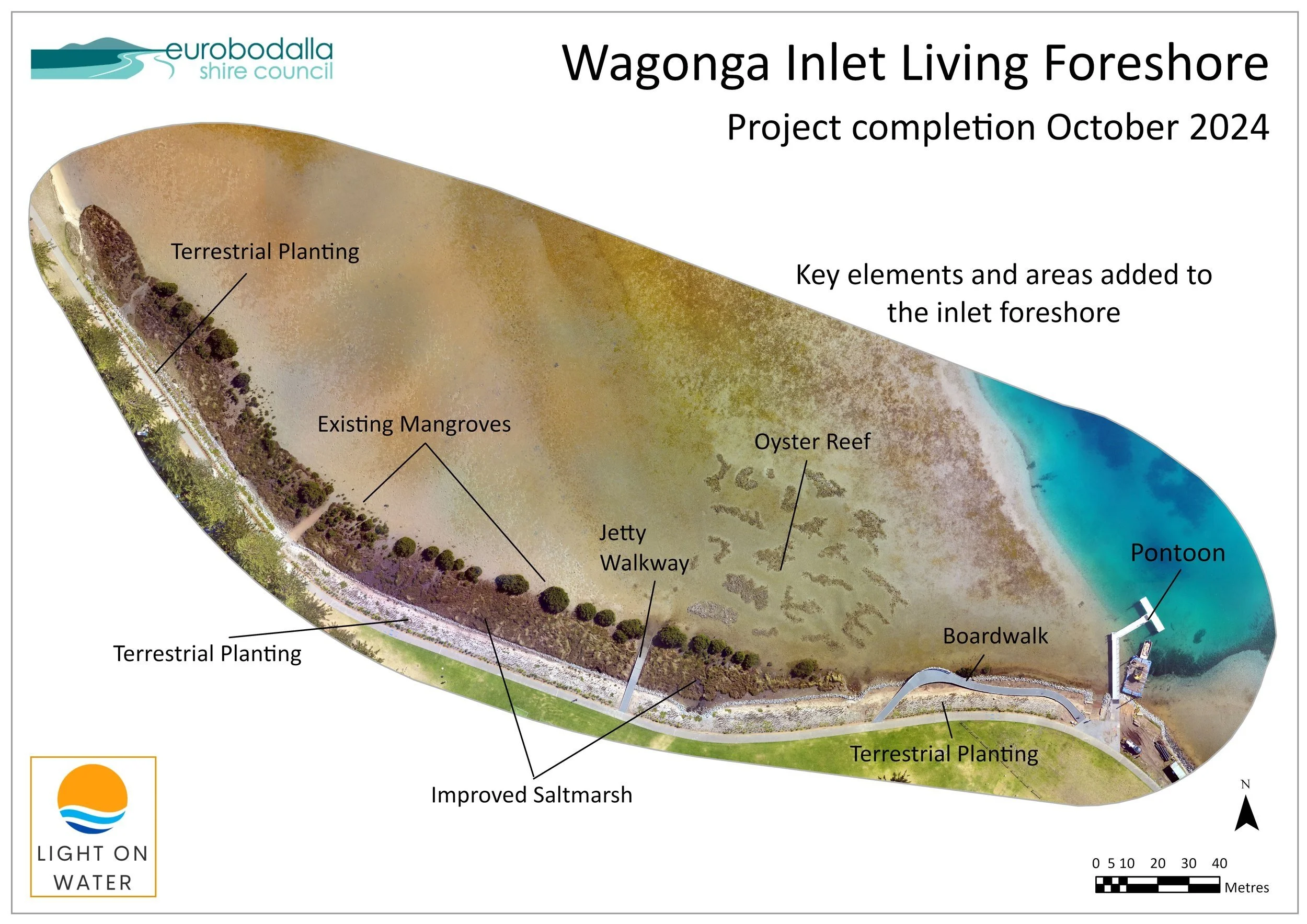
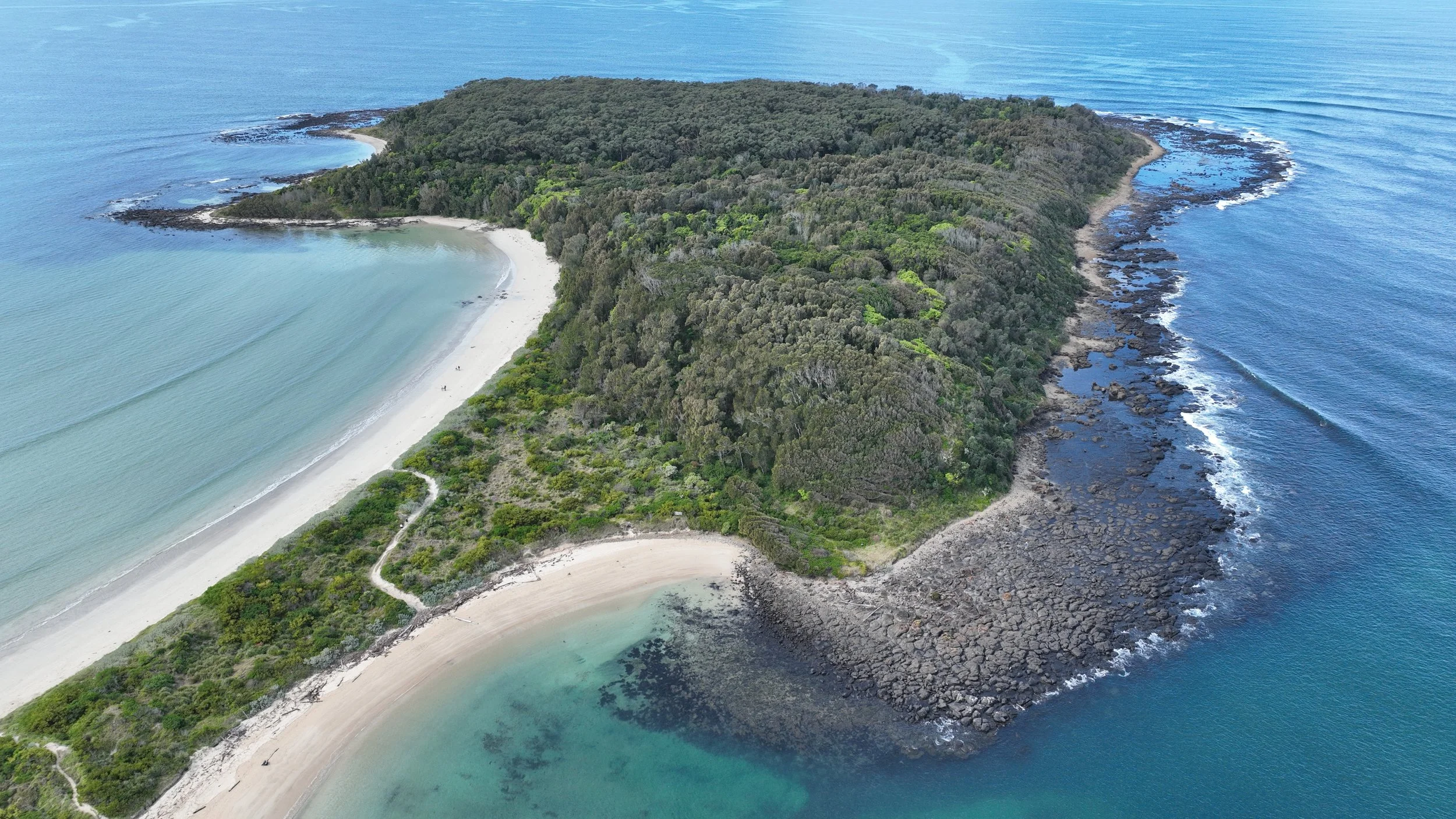
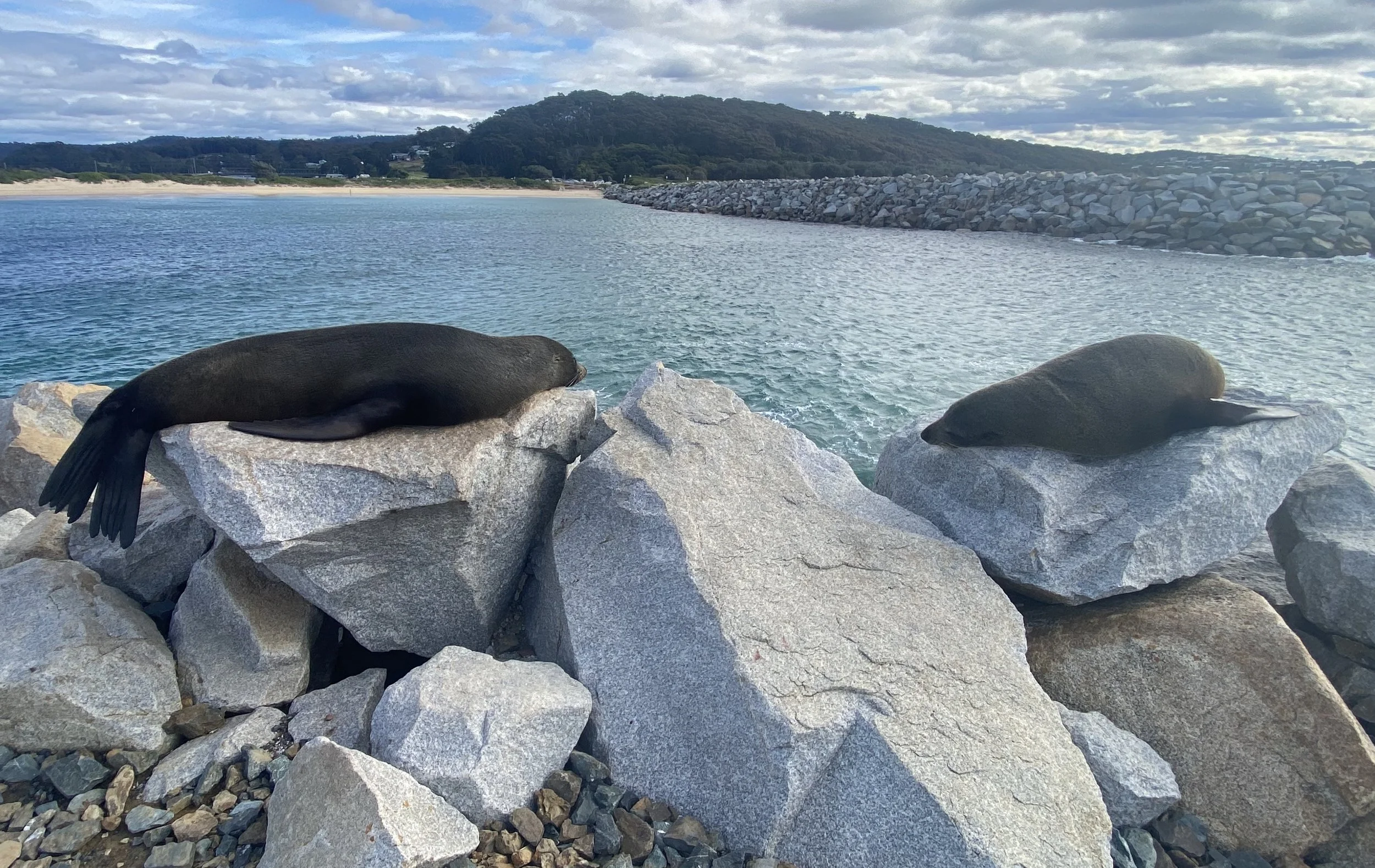
Light on Water has completed a range of work in Narooma including:

Servicing Narooma, Dalmeny and Kianga

Aerial view of Wagonga Inlet Living Foreshore project site near a pondon, showing key features such as oyster reef, jetty walkway, boardwalk, terrestrial planting areas, existing mangroves, and improved saltmarsh, with labels and a north arrow.
Contact light on water to quote for your project